Keep up with our latest news and projects!
Well-managed, used and designed public spaces are essential for cities to prosper (UN-Habitat, 2016). This is particularly important for those urban dwellers who are in special need of accessible public spaces — streets, public open spaces and facilities — to support economic development, health, recreation and socialisation. Improving access to good public spaces, particularly for more vulnerable urban residents, is a powerful mechanism to improve equity in a city. Innovative tools for participation and assessment of current conditions are key to engage city dwellers in sustainable urban development projects.
In 2011, UN-Habitat was mandated by member states to work on public space, including developing public space policy, knowledge dissemination and directly assisting cities to improve public space globally. UN-Habitat is fulfilling this mandate through the Global Public Space Programme which utilises innovative tools for public space assessment and design. Block by Block is a partnership between UN-Habitat and Block by Block Foundation, in which the computer game Minecraft is used for community participation in the design of public spaces. In addition, the Public Space Assessment Tool is a comprehensive methodology that enables local governments and partners to cost-effectively map their public spaces from a qualitative and quantitative perspective.
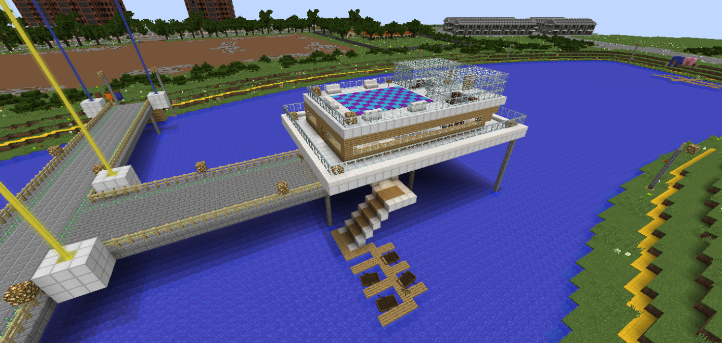
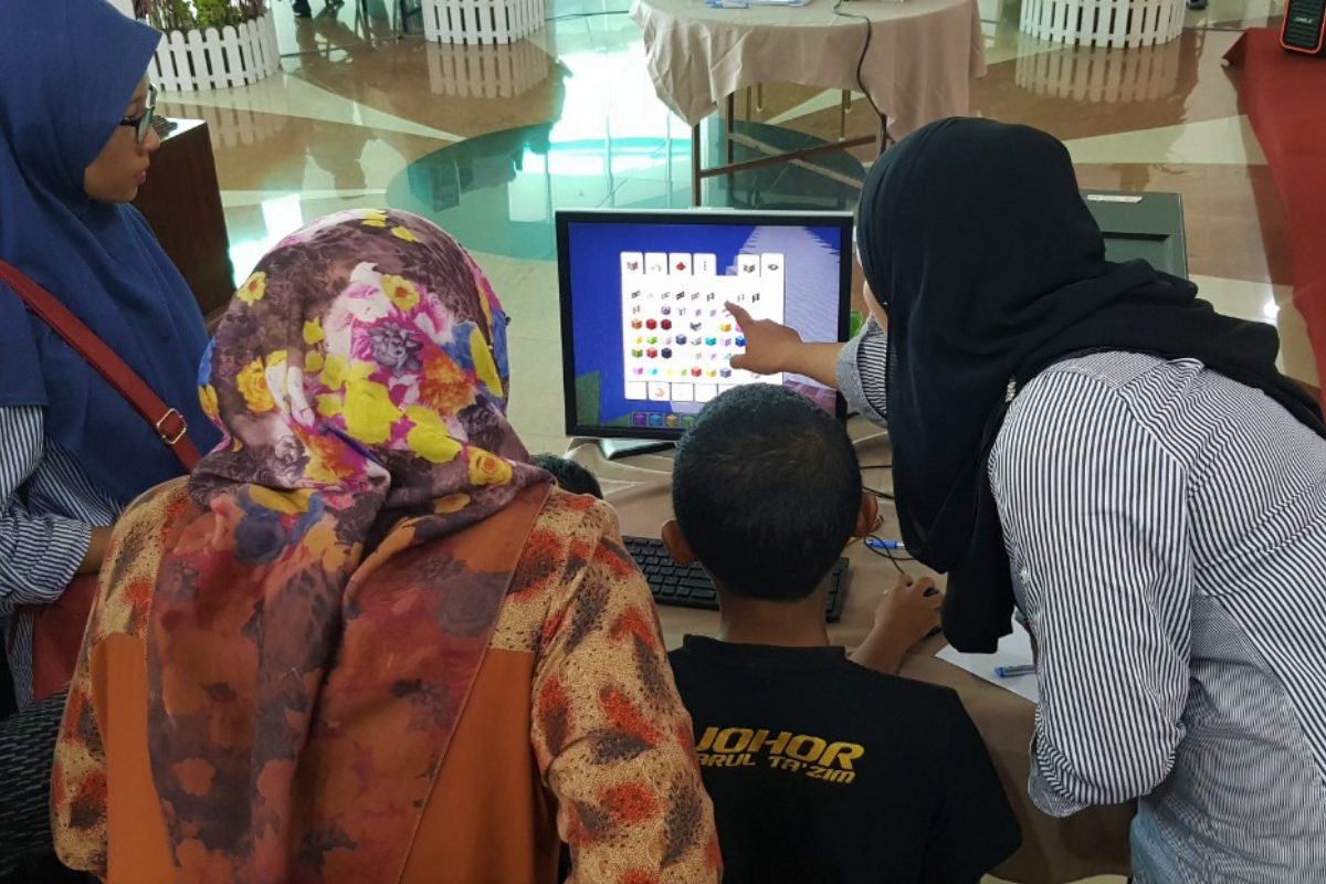
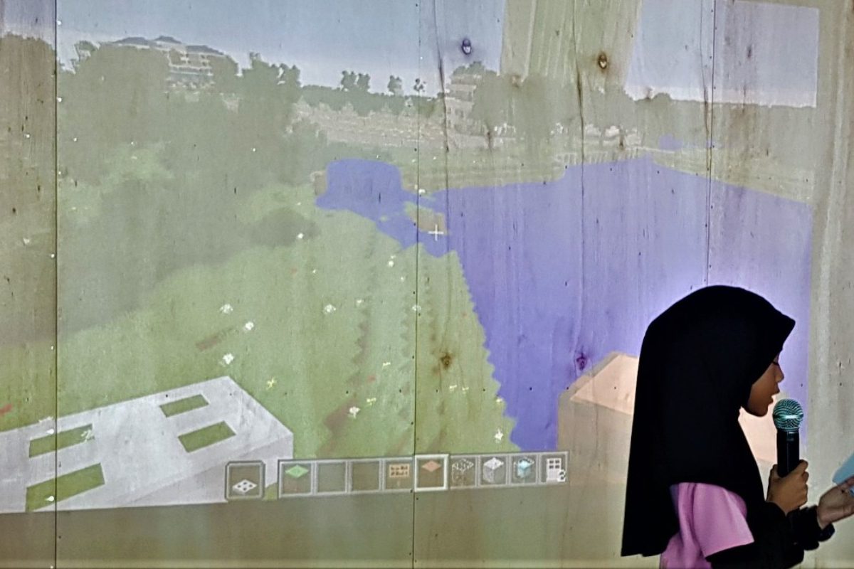
The video game Minecraft allows players to build structures out of textured cubes in a three-dimensional computer-generated virtual environment. UN-Habitat’s experience using Minecraft as a community participation tool for public space design shows that providing communities with ICT tools can promote civic engagement and ownership.
As part of the Block by Block methodology for public space design, participatory workshops are held with the community to gather their ideas and insights. To date, workshops with Block by Block have been held in more than 30 different countries around the globe. Among those in the Asia Pacific region are Bangladesh, China, India, Indonesia, Malaysia, Nepal and the Philippines. The projects implemented so far show that the Block by Block methodology adds value to community participation. Power relationships are changed, communities are engaged in new ways and the process presents great opportunities to attract hard-to-reach groups, particularly young people.
Accurate and eye-level data on public space characteristics and quality are crucial for public space policies. However, there is limited availability of data, particularly in the global south. In 2016, UN-Habitat developed the City-wide Open Public Space Assessment Tool to support local governments to gather information about the availability and quality of public spaces. The digital platform used is called Kobotoolbox. It is an open-source application that enables local governments to cost-effectively map their public spaces from a qualitative and quantitative perspective. The Assessment tool has been applied in more than 10 countries worldwide, including Afghanistan, Bangladesh, China, and Mongolia.
UN-Habitat also provides training for local governments, professionals, academia and residents on public space data gathering and analysis. The assessment provides comprehensive information about the public space network. In some cases, there is specific thematic focus, such as children, women and girls, safety and security, markets, etc. Recently, UN-Habitat developed the Site-specific Public Space Assessment Tool, which helps to understand the individual public space and its context before / after an intervention. Both are strongly aligned to the specific targets from the SDG 11.7 on public spaces, particularly regarding accessibility, safety and inclusivity.
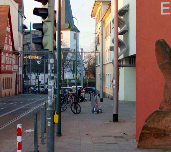
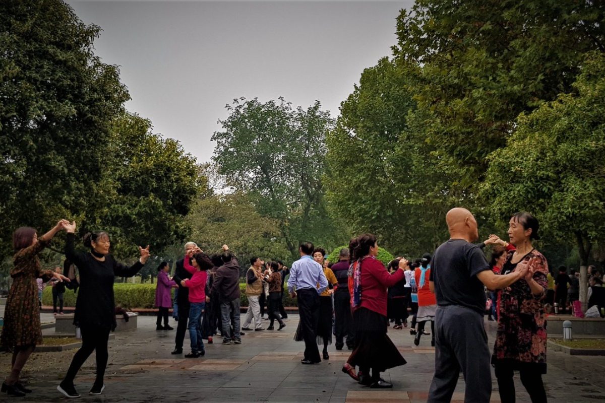
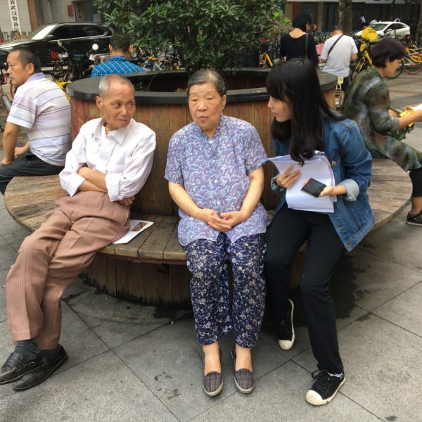 Surveying in the streets of Wuhan.
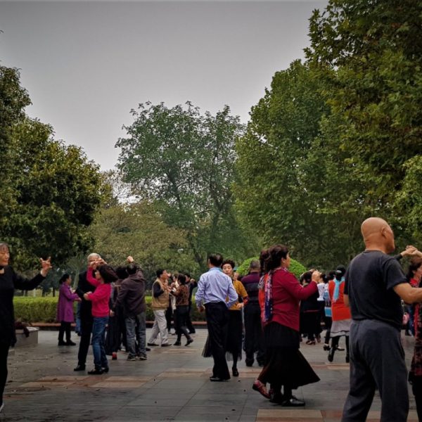
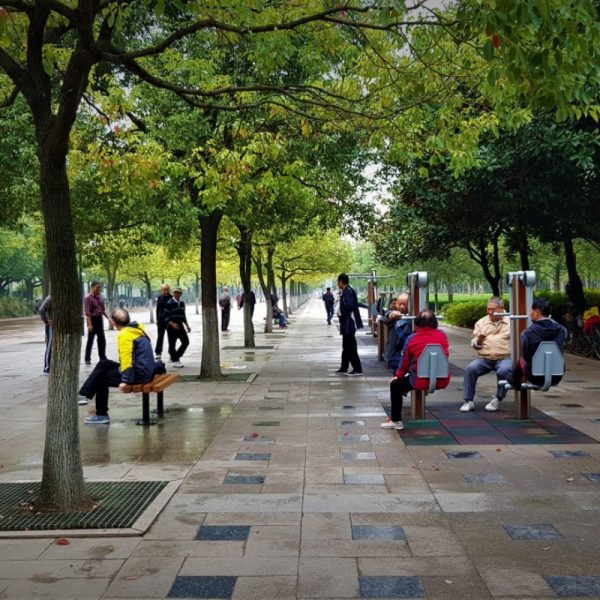
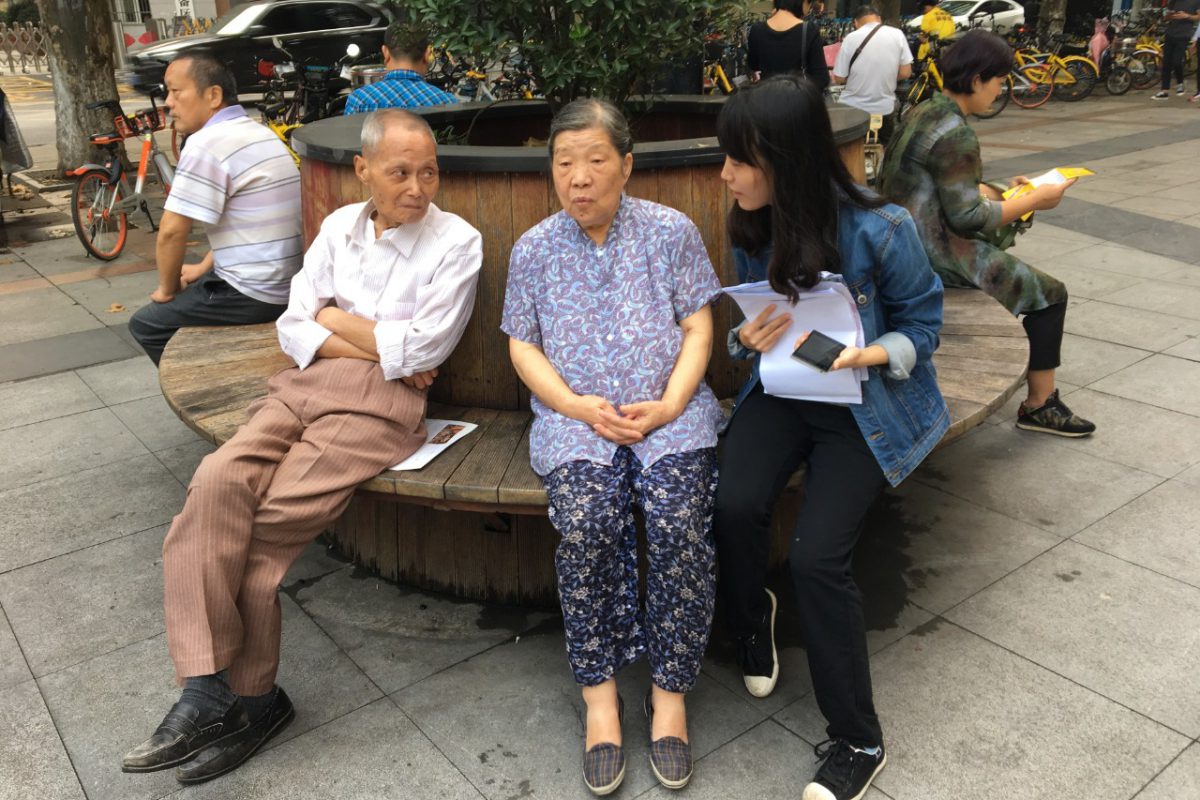 Surveying in the streets of Wuhan.
Case Studies
District-wide Public Space Assessment: Jianghan District, Wuhan, China
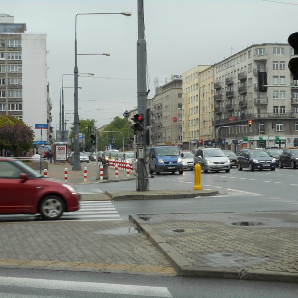
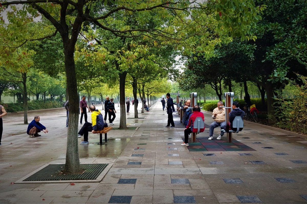
Jianghan District is one of 13 districts in Wuhan, China, situated on the northwestern bank of the Yangtze River and covering a land area of about 28.3 km2. With a resident population of 687,422 (2015 census), Jianghan is both the least spacious and most densely populated of the districts in Wuhan. Here, public spaces are increasingly threatened by the rapid expansion of city structures (UN-Habitat 2017).
The district’s high population density has led to inadequate green space and poor-quality land stock. Air pollution is a problem with an annual average PM2.5 of 52.5 ug/m3, five times more than the WHO recommendation of 10 ug/m3. To respond to these threats, UN-Habitat in collaboration with the Wuhan Land Use and Spatial Planning Research Centre and with support from the local government, undertook a city-wide open public space inventory and assessment in 2017. The aim was to use the assessment to develop Jianghan as a walkable, blue-green district linking the unique waterfronts on the Yangtze River with the inner lakes and neighbourhoods of the city.
Ultimately, the assessment identified gaps in safety, accessibility, inclusivity and spatial distribution of public spaces in Jianghian. Those that required upgrading were identified through an aggregate of indicators. It was noted that 21% of all public spaces require the most improvement while 29 % require the least improvement measures. After spatial analysis, the areas that required new public spaces were identified to be at the periphery of the district, accounting for 18% (4.9 km2) of the total area.
 Design workshop for Tacoma Park
 Upcycle park in Bukit Mertajam
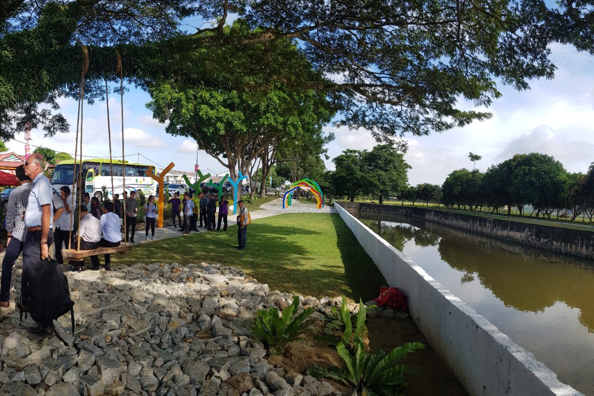
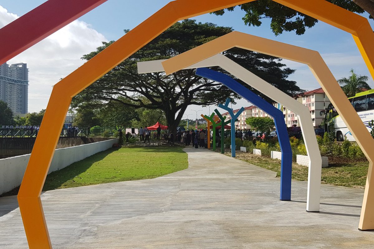
Tacoma Park is located within Bukit Martajam, in the Central Seberang Perai District in Malaysia. It is one park within a wider network of open and green spaces in the municipality, predominantly connected through the water drainage system that is a feature of urban infrastructure in this area. This network includes Tacoma Park, Upcycle Park, Jajaran Hijau, and a connecting public space corridor. Tacoma Park builds upon the existing revitalisation of Upcycle Park, a smaller public space adjacent to the site.
Tacoma Park is a large body of water surrounded by thick and untended vegetation. The site is currently rarely used, and offers poor visibility. Upcycle Park, a smaller body of water, has been improved recently by the addition of low-cost design elements, such as an elevated pathway, seating and interactive features from predominantly recycled materials. Upcycle Park is now regularly used for recreation and exercise, by mostly female users from a mix of ages.
Tacoma Park and Upcycle park are connected to another public space, Jajaran Hijau or ‘Green Corridor’. Jajaran Hijau is situated between a main road and the monsoon rain drainage at Bandar Perda. Improvements here included the construction of a new bridge, additional planting, paving and a central, interactive feature. The space is adjacent to a bicycle and pedestrian path, and is now also wheelchair accessible. The Jajaran Hijau intervention was funded by UN-Habitat through Block by Block foundation, and implemented by UCLG-ASPAC and Seberang Perai City Council (UN-Habitat 2019).
The Block by Block workshop for community engagement and participatory design in Tacoma Park highlighted some key opportunities and challenges of this particular site. Key opportunities identified by the community were: Wellness, Inclusion, Size of the Site and Location. On the other hand, the key challenges of the site were: Maintenance, Lack of Amenities, Safety and Accessibility. The workshop facilitated an exchange of ideas, but most importantly it emphasised the community’s needs. The process showcased the true value of participatory workshops, which allow a diverse group of citizens to come together and produce an inclusive public space design, regardless of background, gender or age.
Following the workshop, a technical team will translate the priorities of the community into conceptual and technical drawings. Community members will continue to engage with the process throughout its implementation. This will assure the sustainability and long-term use of the public space.
Both tools have demonstrated how innovative technologies can support urban development and public space policies and interventions. The public space programme will continue utilising both tools while exploring others in order to accelerate the achievement of SDG 11.7 for more accessible, inclusive and safe public spaces.